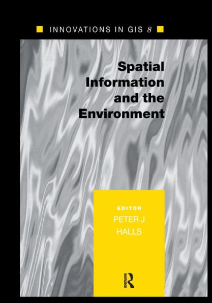
Spatial Information and the Environment / Edition 1

Spatial Information and the Environment / Edition 1

by Peter Halls
ISBN-10:
0367397382
ISBN-13:
9780367397388
Pub. Date:
09/26/2019
Publisher:
Taylor & Francis
ISBN-10:
0367397382
ISBN-13:
9780367397388
Pub. Date:
09/26/2019
Publisher:
Taylor & Francis
Spatial Information and the Environment / Edition 1

Spatial Information and the Environment / Edition 1

by Peter Halls
$54.95 Current price is , Original price is $54.95. You
$54.95 
  • SHIP THIS ITEM
    Qualifies for Free Shipping
  • PICK UP IN STORE
    Check Availability at Nearby Stores

Overview

There is considerable current academic interest in the interface between geographical information systems (GIS) and the environment. This new monograph explores the process from start to finish. It begins with information acquisition in the environment and moves on to tool and techniques for manipulating the information, visualisation and navigation methods for exploring it, and computation and modelling techniques for its analysis. It then concludes with a survey of decision support, for its application.
Spatial Information and the Environment is the eighth book in the Innovations in GIS series initiated in 1994. The series is in essence derived from a selection of the presentations made at the annual GIS Research UK conference 2000 held in York, and has now changed its focus by concentrating on a single topic, making each text distinctive.

Product Details

ISBN-13: 9780367397388
Publisher: Taylor & Francis
Publication date: 09/26/2019
Pages: 304
Product dimensions: 7.00(w) x 10.00(h) x (d)

Table of Contents

Preface vii

GISRUK Committees ix

Contributors xi

Introduction Peter Halls 1

Section 1 Information Acquisition in the Environment 5

1 Spatial information for ecosystem classification, analysis and forecasting C.M. Trotter J.R. Leathwick D. Pairman 7

2 Methodologies and approaches for automated land cover change detection A.J. Comber A. N. R.. Law J. R.. Lishman 37

3 Data-rich models of the urban environment: RS, GIS and 'lifestyles' Richard J. Harris Paul A. Longley 53

4 Extraction of field boundary information: using satellite images classified by artificial neural networks Taskin Kavzoglu Jasmee Jaafar Paul M. Mather 77

5 On the assessment of the spatial reliability of thematic images C.A.O. Vieira P.M. Mather 89

Section 2 Manipulating the Information: Tools, Visualisation and Navigation 103

6 A triangle-based carrier for geographical data Morten Dæhlen Morten Fimland Øyvind Hjelle 105

7 Integrated spatiotemporal analysis for environmental applications Robert Frank Zarine Kemp 121

8 A knowledge-based GIS for concurrent navigation monitoring Frederic Barbe François Gélébart Thomas Devogele Christophe Claramunt 135

9 Adapting one's mental model: an essential process for successful navigation in an environment Hartwig Hochmair 147

Section 3 Analysing the Information: Computation and Modelling 165

10 Implementation of a GIS-based cellular automaton approach for dynamic Modelling Verena Gruener 167

11 Preliminary analyses results of forest plant diversity and distribution on Mt. Medvednica, Croatia Sven D. Jelaska 183

12 Interpolation in a heterogenous world David M. Kidd 199

13 Spatial modelling of the visibility of land use David Miller 213

Section 4 Applying the Information: Decision Support 229

14 User interface considerations to facilitate negotiations in collaborative spatial decision support systems Jaishree Beedasy Rameshsharma Ramloll 231

15 The use of GIS in brownfield redevelopment Rebekah Boott Mordechai Haklay Kate Heppell Jeremy Morley 241

16 Evaluation methods to support the comparison of maps for environmental decision making Marjan van Herwijnen Ron Janssen 259

17 Use of statistical classification techniques in identifying stock and change in broad habitat categories Watkins, J.W. Howard, DC. Scott, W.A. 273

Index 283

From the B&N Reads Blog

Customer Reviews